![]()
![]()
![]()
![]()
This book describes the SQL Anywhere spatial data support and how the spatial features can be used to generate and analyze spatial data.
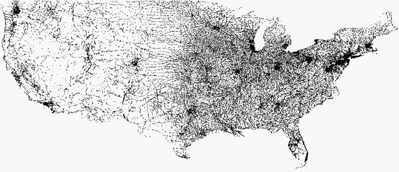
The following image represents the distributions of cities and towns across the United States and is one example of the interesting operations you can perform on spatial data.
Using spatial data
Accessing and manipulating spatial data
 |
Discuss this page in DocCommentXchange.
|
Copyright © 2012, iAnywhere Solutions, Inc. - SQL Anywhere 12.0.1 |