![]()
![]()
![]()
![]()
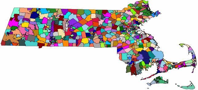
Spatial data is data that describes the position, shape, and orientation of objects in a defined space. Spatial data in SQL Anywhere is represented as 2D geometries in the form of points, curves (line strings and strings of circular arcs), and polygons. For example, the following image shows the state of Massachusetts, representing the union of polygons representing zip code regions.
Two common operations performed on spatial data are calculating the distance between geometries, and determining the union or intersection of multiple objects. These calculations are performed using predicates such as intersects, contains, and crosses.
 Example of how spatial data might be used Object-oriented properties of spatial data types See also
Spatial reference systems (SRS) and Spatial reference identifiers (SRID)
Units of measure
Flat-Earth and round-Earth representations
How snap-to-grid and tolerance impact spatial calculations
Indexes on spatial columns
Spatial data type syntax based on ANSI SQL UDTs
Comparing geometries using ST_Equals and ST_OrderingEquals
Spatial permissions
Recommended reading on spatial topics
 |
Discuss this page in DocCommentXchange.
|
Copyright © 2010, iAnywhere Solutions, Inc. - SQL Anywhere 12.0.0 |